Overview
Things to Know
What Makes Vĩnh Trung Fields Special
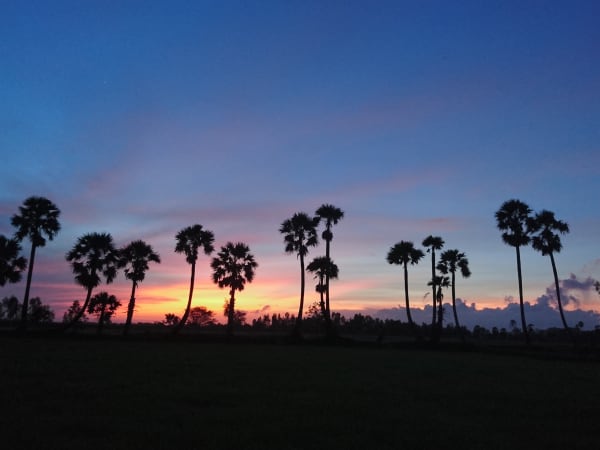
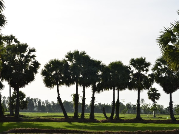
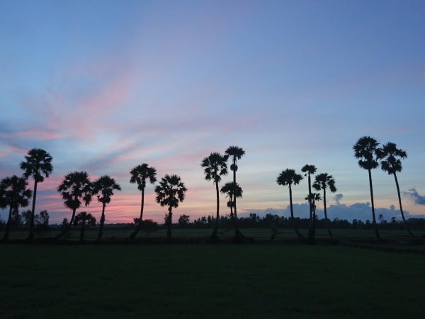
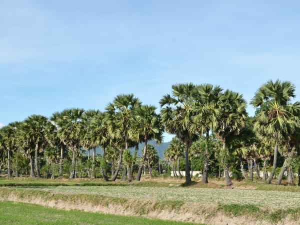
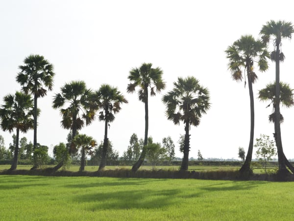
Vĩnh Trung commune sits in the flat agricultural zone at the base of the Thất Sơn (Seven Mountains) range in Tịnh Biên district, An Giang province - one of the most visually distinctive landscapes in the Mekong Delta. The fields here are not the flat, featureless paddy of the lower delta; they are framed by the abrupt volcanic peaks of Thất Sơn, where mountains rise almost vertically from the surrounding plain with no foothills to graduate the transition. Núi Cấm, the highest peak in the range at 716m, dominates the western skyline from the fields of Vĩnh Trung. The area is home to a mixed Vietnamese and Khmer Krom community, and the cultural landscape reflects this - Khmer Buddhist pagodas appear amid the paddy fields alongside Vietnamese temples, and the farming practices, food, and daily rhythms carry influences from both traditions. The fields themselves follow the Mekong calendar: green with young rice after the May-June planting, full and golden at the November-January harvest.
Gallery


How to Get There
🚗 Getting There
Vĩnh Trung is in Tịnh Biên district, approximately 30km from Châu Đốc city in An Giang. From Châu Đốc, National Highway 91 southwest toward the Cambodian border passes through Tịnh Biên town - the journey takes about 45 minutes by motorbike. From Cần Thơ, Châu Đốc is approximately 120km and reachable in 2.5-3 hours. From Ho Chi Minh City, the total distance to this area is about 270km via the Mekong Delta expressway toward Long Xuyên then northwest to Châu Đốc - around 5 hours by car. The field roads of Vĩnh Trung commune are accessible by motorbike; the dyke tracks between paddies require a bicycle or walking.
What to Expect
👀 On the Ground
The landscape is openly agricultural - wide paddy fields, dyke roads, canal edges, and the recurring profile of the Thất Sơn peaks on the horizon. Water buffalo work the fields in the planting and post-harvest periods. Khmer pagodas appear at intervals, typically on slightly elevated ground above the flood line, their multi-tiered rooflines visible from a distance. The villages along the dyke roads are small and quiet. The road infrastructure is a mix of paved provincial roads and packed-earth dyke tracks; the latter are navigable by bicycle and motorbike but not cars. The overall character is peaceful, photogenic, and entirely without tourist infrastructure.
Travel Tips
🧳 Tips
Vĩnh Trung Fields is the visual complement to Núi Cấm - most visitors who climb the mountain see the surrounding plain from above but never explore it at ground level. The ground-level experience is different and in some ways more rewarding: the scale of the Thất Sơn peaks seen from the flat fields below is more dramatic than the view from the summit, and the Khmer cultural layer visible at this level - the pagodas, the community, the food - is not accessible from the mountain cable car. If mày is doing a Châu Đốc and Thất Sơn itinerary, allocating one morning to cycling or riding the dyke roads of Vĩnh Trung at dawn is the right way to experience what makes this corner of An Giang different from the rest of the delta.
Insider Tips
Based on real traveler experiences and commonly mentioned advice from multiple visitors.
FAQ
Common questions from travelers who've visited this place.
When is the best time to visit?›
What can I do at the palm fields?›
Are there multiple palm field locations?›
Nearby Locations
Explore more things to do like this around Vietnam