Overview
Things to Know
What Makes Ta Pa Fields Special
Ta Pa Fields occupy the low-lying agricultural land around Ta Pa hamlet in Tri Ton district, An Giang province, in the part of the Mekong Delta known as the Seven Mountains region - Thay Son in Vietnamese - where a cluster of isolated limestone and granite massifs rises unexpectedly from the flat delta plain near the Cambodian border. The fields are planted with a traditional floating rice variety - lua noi - that extends its stalks upward as flood waters rise, keeping the grain heads above water during the annual inundation cycle that covers this part of the delta between August and November. This variety has been cultivated in the region for centuries and is culturally associated with the Khmer Krom communities who make up a significant part of the population in Tri Ton and Tinh Bien districts. The visual effect during flood season - a vast shallow lake of green rice extending to the mountain silhouettes on the horizon, traversed by wooden boats and narrow elevated roads - is one of the most unusual agricultural landscapes in Vietnam.
Gallery


How to Get There
🚗 Getting There
Ta Pa Fields are 230km from Ho Chi Minh City, approximately 5 hours by bus. Buses run from Ho Chi Minh City to Long Xuyen or Chau Doc, from where Tri Ton is a further 30-50km by local bus or motorbike. From Tri Ton town, the Ta Pa area is 5-8km - best explored by rented bicycle or motorbike. An alternative approach is via Chau Doc, 45km away, which has better accommodation options and connects to the Cambodia border crossing at Tinh Bien for travellers moving between the two countries. The flood-season visit (Aug-Nov) requires checking road conditions - some lower tracks become impassable at peak flood, but the elevated main roads remain accessible.
What to Expect
👀 On the Ground
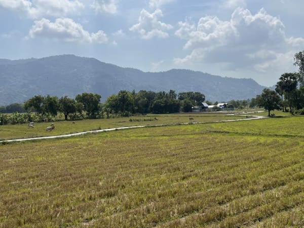
During flood season, the fields present as a shallow lake stretching to the horizon, with the rice stalks extending 40-60cm above the water surface in mature stands. Farmers move between rows in narrow flat-bottomed boats, harvesting by hand. The elevated road network allows exploration by bicycle or on foot, with the water sometimes lapping at road level on both sides during peak inundation. In dry season, the same fields are conventionally planted paddies - productive but visually unremarkable compared to the flood-season landscape. The mountain backdrop - particularly Cam Mountain and the Cambodian peaks on the border - provides the framing that elevates the scene from interesting to memorable.
Travel Tips
🧳 Tips
An Giang's Seven Mountains region is one of the most culturally distinct areas of the Mekong Delta, with a Khmer Krom population whose Buddhist temple architecture, language, and cuisine differ noticeably from the Vietnamese norm. Ta Pa Fields are the photographic centrepiece of the region, but the broader area rewards slower exploration - the Khmer pagodas in Tri Ton and Tinh Bien, the Vietnamese pilgrimage site at Ba Chua Xu temple on Sam Mountain near Chau Doc, and the border town atmosphere of the Cambodia crossing all contribute to a region that offers more depth than a single location visit suggests. Accommodation in Tri Ton is basic; Chau Doc has a wider range and is a more practical base for multi-day exploration of the area.
Insider Tips
Based on real traveler experiences and commonly mentioned advice from multiple visitors.
FAQ
Common questions from travelers who've visited this place.
When is the best time to photograph this road?›
Are there safety concerns while traveling this road?›
How remote is this location?›
Nearby Locations
Explore more things to do like this around Vietnam